Latest Tech News
Stay updated and educated about the latest Tech

Are you interested in learning the geospatial surveying’s well-kept secrets? As we go into this intriguing world of mapping and data collection, prepare to have your mind blown. Geospatial surveying is more than just drawing lines on a map; it’s a potent instrument that opens up countless opportunities for sectors ranging from environmental management to construction.
This blog article will discuss the amazing advantages of geospatial surveying and reveal the mysteries behind it. So grab your compass and join me as we set out on this exciting voyage!
The art and science of gathering, examining, and interpreting spatial data to produce maps, models, and other visual representations of our physical environment is known as geospatial surveying. To obtain precise information about land features, natural resources, infrastructure, and more, it uses a number of technologies, including GPS (Global Positioning System), GIS (Geographic Information System), remote sensing, and aerial photography.
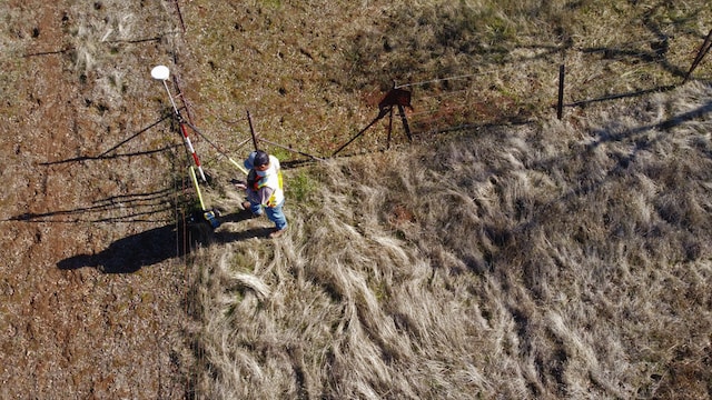
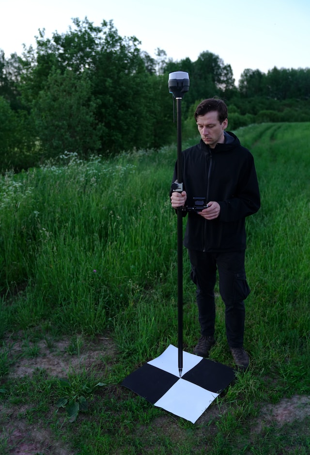
Geospatial surveyors methodically measure distances, angles, elevations, and coordinates to construct accurate digital representations of real-world objects using specialised equipment including total stations, drones, LiDAR scanners, and satellite photography. Then, using cutting-edge software, this data is analysed to create incredibly accurate, detailed maps.
Nevertheless, why is geospatial surveying so crucial? First off, it plays a significant part in urban planning by assisting architects in creating structures that blend in naturally with their environment. By charting out roads, pipelines, and power lines, surveyors help with infrastructure development as well.
Geospatial surveying additionally supports environmental conservation initiatives by keeping track of ecological changes and identifying regions vulnerable to natural disasters.
Additionally, it ensures the effective use of resources like agricultural techniques or water management systems. Geospatial surveying aids in making knowledgeable decisions that can enhance safety, optimise operations, and conserve time and money by offering precise measurements and insights. Fundamentally, geospatial surveying forms the basis of contemporary mapping technologies. It gives us the chance to view the world from a fresh angle and offers important data for a variety of sectors.
So keep geospatial surveying in mind the next time you see a map or are impressed by a precisely designed structure.
A wide range of sectors depend on geospatial surveying because of its many advantages. Its capacity to deliver precise and thorough information about the Earth’s surface is a significant benefit. Planning for infrastructure, land development, and environmental monitoring can all be done using this data.
Professionals may gather exact measurements and produce extremely accurate maps using geospatial surveying, which makes use of cutting-edge technology like GPS, LiDAR, and remote sensing. In decision-making procedures, where even the tiniest error can have serious repercussions, this level of accuracy is essential.
The effectiveness of geospatial surveying is another advantage. More quickly than ever before, surveys may be carried out with the use of automated equipment and software solutions. Due to the time and money saved, previous procedures that required physical labour were no longer necessary.
Geospatial surveying also improves safety by enabling experts to collect data from dangerous or difficult-to-reach regions without endangering human lives. It offers useful insights on potential risks or hazards on building sites or in areas vulnerable to natural disasters.
Geospatial surveying also helps with resource management, which is another way it supports sustainable development. This technique assists in locating opportunities for resource conservation and effective resource allocation by properly assessing land use patterns and tracking changes over time.
Geospatial surveying offers a wide range of advantages, from greater accuracy and productivity to safer practices and environmentally friendly methods. We may anticipate far more intriguing applications that will revolutionise how we interact with our environment as this field of technology continues to advance quickly.
Geospatial surveying has a bright future ahead of it, full with exciting new developments. The combination of machine learning algorithms and artificial intelligence (AI) is one area that is poised to revolutionise the industry. These innovations will make data collecting, analysis, and interpretation faster and more precise.
As AI-powered drone technology advances, it will be possible for them to independently fly over large areas while simultaneously collecting elevation data and high-resolution photographs. As fewer people are needed for manual data collecting, this will not only save time but also cut expenses.
The application of sophisticated sensors and LiDAR technology is a further exciting development. Laser beams are used in LiDAR (Light Detection and Ranging) to calculate the distances between sensors and objects in the air or on the ground. This technology can provide incredibly accurate 3D maps of the terrain’s features.
Furthermore, improved satellite imagery resolution and coverage are anticipated to have a significant positive impact on geospatial surveying. We may anticipate better photography with even more resolution than before as new satellites are deployed into orbit on a regular basis.
In addition, sustainability is receiving increased attention across all sectors, including geospatial surveying. An increased emphasis on ecologically friendly practices, such as employing renewable energy sources to power survey equipment and lowering trash output through effective workflows, will be seen in the future.
With improvements in AI technology, better sensors like LiDAR, higher satellite imaging resolution, and a deeper focus on sustainability, the future of geospatial surveying is bright. These advancements will surely produce data collection techniques that are more effective while having a smaller negative environmental impact.